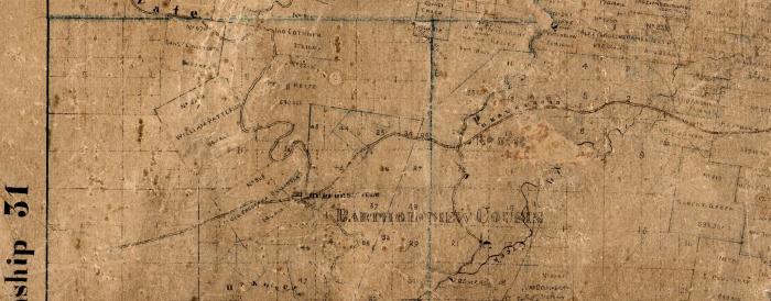
Section of 1870 Brooks Cape County Map
Document
BCL-TOT-B-00001
Scanned section of the 1870 James Brooks Cape County map showing Hwy 34 which was a "gravel road" established as a postal/family road in the 1790's, which became part of the Benge Route during the Trail of Tears.
1870
